 Nobeltec, Inc., subsidiaries of MaxSea International, is a leading developer of PC-based marine navigation software and provider of electronic marine navigation charts. This company is the official developer of TZ iBoat on Apple Store. After several weeks of beta-testing, The version 3.0 has just gone online.
A revolution is taking place in the world of maritime cartography... Never seen before ! TimeZero announces.
The new mapping
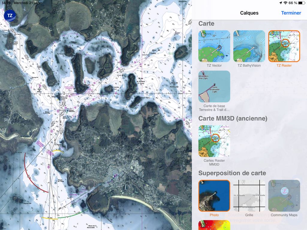
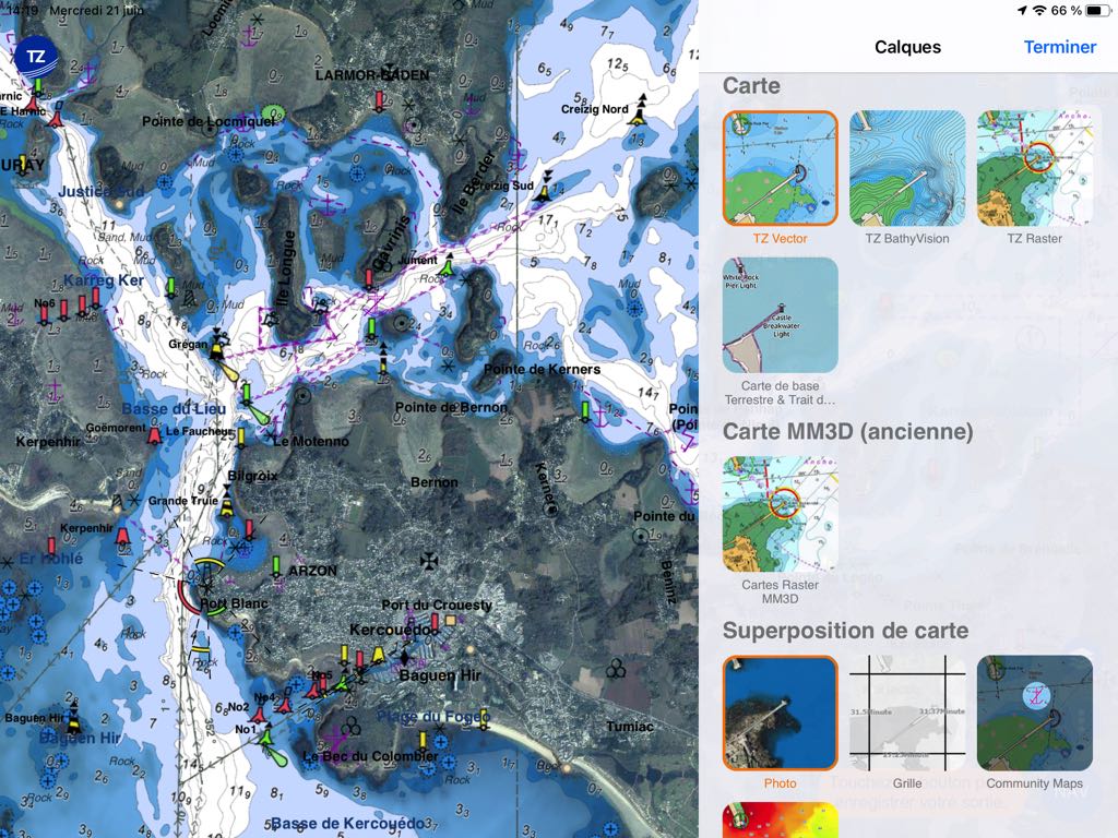
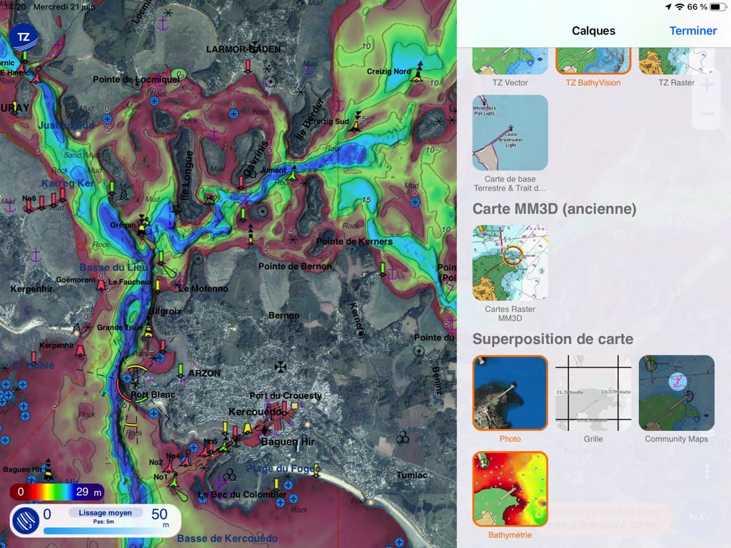
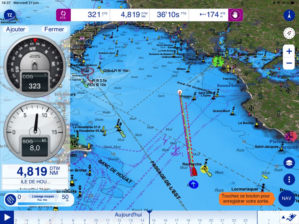
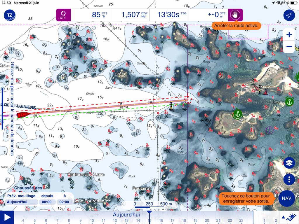
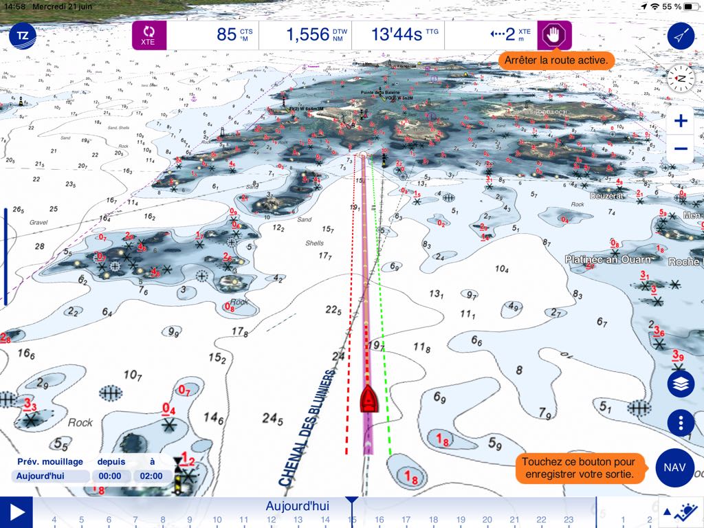
TZ iBoat V.3.0 introduces new charting, TZ MAPS, replacing the MM3D raster charting, which has become obsolete. A new chart format that combines all data for optimal navigation. It can combine different layouts :
- TZ Raster,
- TZ Vector,
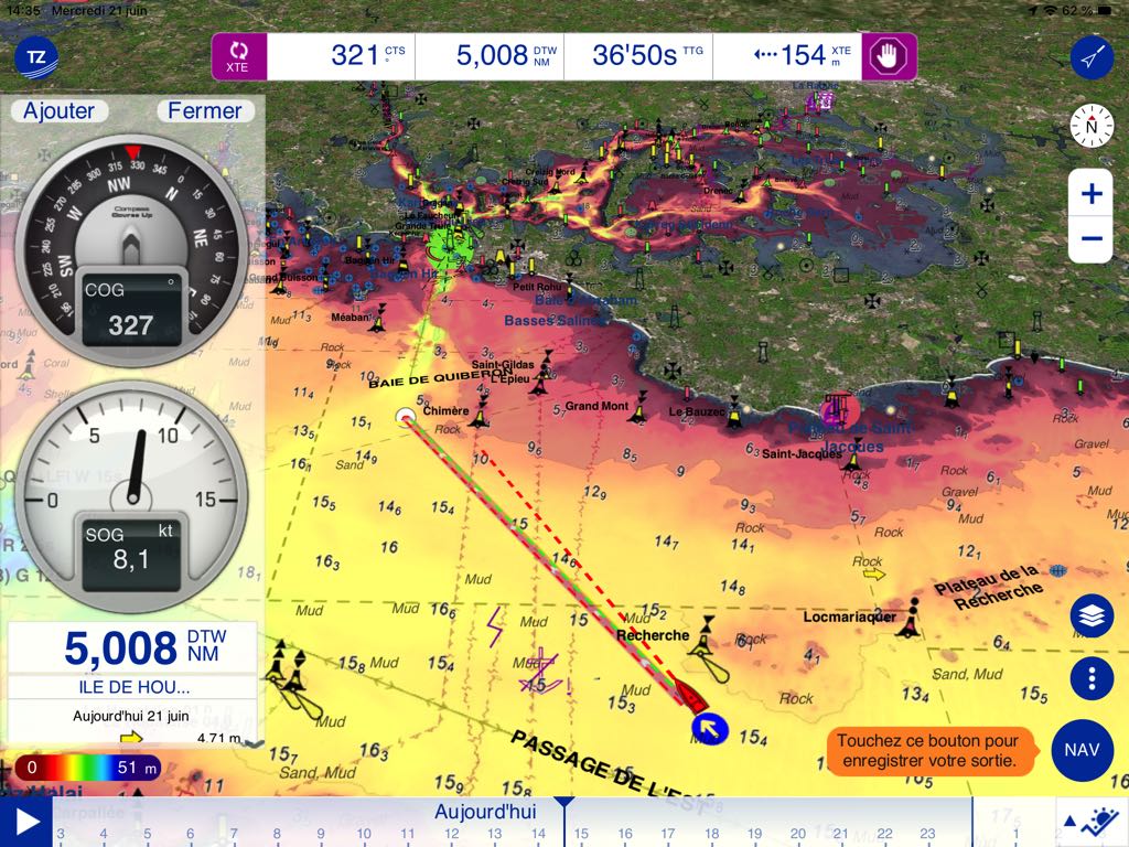
- TZ BathyVision
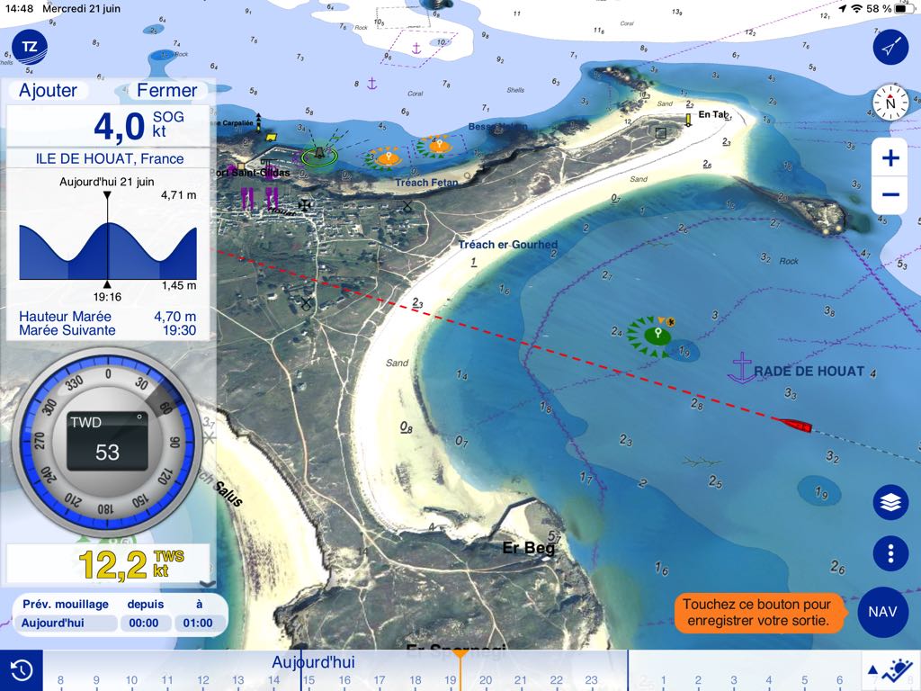
on which high-resolution satellite views can be overlayed, Community map information, bathymetric fields in color gradient.
It's a beautiful effect. We can only regret that we didn't take the opportunity to uncover errors in details, observed for a long time in certain places, as in La Coruña for example. (¹) But for, their defense, they're not the only ones.
The new features
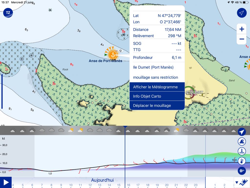
Other new functions complete this modular charting, such as the dynamic moorings that can be created, Rate and comment (in the the same way in Navily®).
Also dynamic lights that display their colors and flash on the chart according to their own characteristic, advanced search (SMART SEARCH), or the creation of zone limits (SMART ZONE).
Flashing lights can be activated according to their period
What doesn't change :
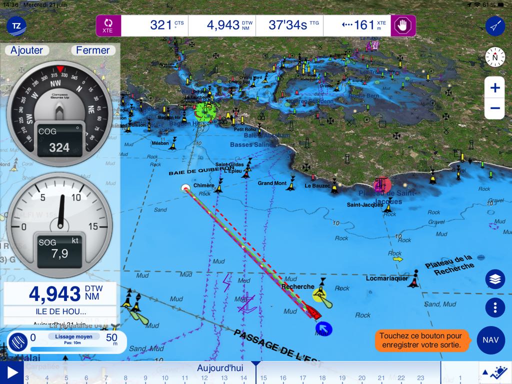
The user interface remains the same. It includes, among others, 2D/3D display, route functions, tracks, etc,, Community sharing, Management of mooring alarms, Output recordings and synchronization. The settings are numerous and include a number of small new features to discover, nothing to confuse users.
The Premium Weather Subscription is still at 10€/month. A high annual rate but suitable for those who only sail during their holidays. Of course, some options are only accessible with a permanent connection to the internet, such as satellite images, online weather, online help.
However, the Premium Weather subscription allows the download of different forecast models for a defined area, in order to display offline. TZ iBoat also manages the Iridium GO!® natively for direct download of forecasts from its own servers.
Here is a high-quality update that will delight its users and that takes a good step ahead of its direct competitor Navionics Boating in coastal cruising.
Historical background
In 2000, Nobeltec Inc. was acquired by Jeppesen, a subsidiary of Boeing Company, and during 9 years Nobeltec and Jeppesen developed together (²). In 2004 FURUNO acquires 49% MaxSea International to form a technical alliance to offer a complete solution for navigation, especially for its TZ Touch chartplotters.
In 2009 Nobeltec is acquired by MaxSea International, which now has 3 world class : MaxSea, Nobeltec and MapMedia, offering a range of products to meet many needs. Nobeltec, Inc. launched the TZ iBoat app for iPad/iPhone in 2013 to reach new markets and spread TimeZero technology based on a powerful 2D/3D charting engine, offering a seamless chart display with an intuitive and user-friendly interface.
In 2016 MaxSea International has made the decision to bring all its products together within the TIMEZERO brand.
–––
(¹) Electronic Boards and Updates... caution !
(²) See also : The stakeholders of electronic charting
–––


A priori I don't think TZ is compatible with macOS. The app is missing from the list of compatible apps on my Mac.
Bonjour,
Thank you Francis for this presentation.
I did some tests during 2 hours steps, it's really not bad. It's much more than a map , It is a navigational aid system, such as help in choosing anchorages according to the forecasted winds.
I don't have an iPad anymore and I switched to ANDROID. So I'll wait.
On the other hand I have a Macbook Air with an M2 processor planned to buy at the end of the year. Have you checked if TZ iBoat can run on this M2 processor like many applications designed for iPad?
Francis