
![]() As part of its policy aimed at offering users an ever more efficient and safe waterway, public institution Waterways of France (VNF) embarked on the production of electronic navigational charts on various inland waterways. The first two : the “Dunkerque-Escaut” and “La Garonne” connection are published.
As part of its policy aimed at offering users an ever more efficient and safe waterway, public institution Waterways of France (VNF) embarked on the production of electronic navigational charts on various inland waterways. The first two : the “Dunkerque-Escaut” and “La Garonne” connection are published.
The big surprise, unique case in the history of French administration, is that these charts are available free and free download on VNF website. It was worth saluting !
These charts IENC (Inland Electronic Navigational Chart) follow ENC format for ECDIS established by a group of European experts, The’Inland Ecdis Expert Group.

VNF IENC mapping program
The publication of these electronic inland charts part of the European directive to implement River Information Services (RIS) harmonized at the level of the European Union. The directive applies to all waterways of class IV and above throughout the European Union and makes, among others, obligatory provision of electronic navigation charts to the Inland ECDIS standard.
VNF goes beyond the EU Directive by engaging with its users to make charts of La Marne (Jablines loop), of the Seine, Oise, future Seine North Europe Canal, La Saône, the Rhône-Sète Canal and La Garonne. Aware of the growing importance of river tourism, VNF thus actively participates in its development through the security provided by these publications..
After the online charts of the Dunkirk-Escaut connection and La Garonne, VNF publish those of Rhine, of the Moselle and the Saône by the start 2012.
Use with MacENC
- After downloading and unzipping charts folder (ZIP format), must drag the entire file in the directory where you usually store your charts.

Drag the maps folder to the chosen location
- Then you open the Card Manager in MacENC. You click on the “Add an ENC catalog” button, a popup informs you that MacENC will create a catalog, you click on the “OK” button.

Creation of the ENC catalog (catalogue.031)
- Once the new catalog is expanded in the window, you select a cell and you click the "Scroll to… ”.


ENC maps are displayed in MacENC, the operations are the same as for marine ENC cards, the curseur horizontal in the toolbar allows you to display more or less detail, the menu Display > Objects to select the objects visible on the chart, etc,.

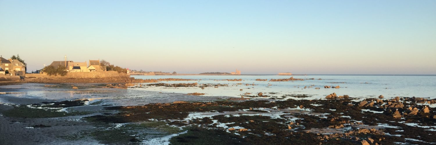
The Gironde, River part close to Bordeaux, IENC chart
The overlay of Navionics 46XG chart, in menu Display > Navionics charts can get an idea of levels of detail provided by IENC chart :

Navionics 46 XG chart overlayed
All that remains is to wait for the next publications. There is no doubt that the programmed mapping will be fully available in the summer 2012, and all the navigable rivers of France will be finally. An excellent thing for all lovers of river tourism.
The question is whether VNF willing to make its charting available for download on X-Traverse server, this would also allow them to be used with iNavX. I will see the widespread of iPad use in houseboats, not you ?